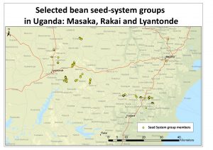
The promotion, demonstration, and subsequent multiplication of seeds of improved varieties makes implicit use of geo-spatial information but could be improved with the mapping of where seeds are available for purchase.
Click on the links to view the maps or reports of previous seed system studies, where available.